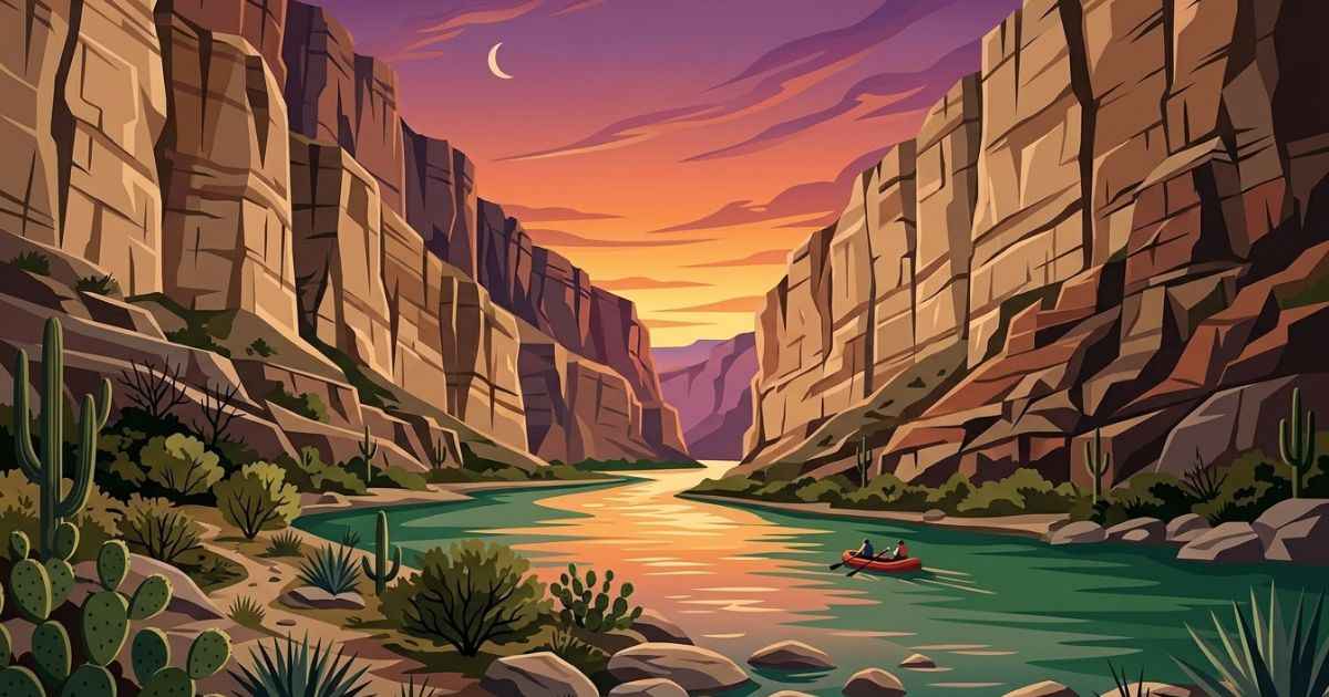
When looking for the best things to do in big bend, first-time visitors can plan a sample trip by combining one Chisos Mountains hike, one west-side scenic drive, one Rio Grande experience, and a night of stargazing, depending on trip length, lodging location, season, and current conditions. Big Bend National Park covers 801,163 acres, or approximately 1,252 square miles, in southwest Texas. Before you plan your daily schedule, check current National Park Service alerts for unexpected road repairs or weather closures.
Last updated: September 2026. Always verify park road conditions and weather alerts before you head out.
The Best Big Bend Experiences for a First Visit
Big Bend offers scenic vistas, mountain landscapes, river canyons, and the Rio Grande. Planning your activities helps you organize your time across the park.
| Experience | Area | Time Needed | Effort | Best For |
| Santa Elena Canyon | West side | about 1-2 hours | moderate | First-time visitors |
| Lost Mine Trail | Chisos Mountains | about 3-5 hours | Moderate | Mountain views |
| Ross Maxwell Scenic Drive | West side | half day | Paved scenic drive | Road trippers |
| Hot Springs | Rio Grande Village area | short walk from parking | accessible when open | Relaxation |
| Stargazing | Throughout park | 1-3 hours | Easy | All visitors |
| Rio Grande float | River corridors | variable | Variable | Adventure travelers |
If you only have one day
Pick one specific geographic zone instead of trying to cross the entire park. You can spend a single day exploring the high mountain views of the Chisos Basin or driving the west side to see desert canyons. The park features an extensive road system, including more than 100 miles of paved roads and 150 miles of dirt roads.
If you have two or three days
Spreading your trip across multiple days lets you pair high-elevation morning hikes with low-elevation canyon drives in the afternoon. This approach gives you time to explore the Rio Grande, visit historic areas, and watch the sunset, then stay for dark-sky viewing.
Best Big Bend Hikes by Difficulty and Scenery
Hiking is one of the top ways to experience the landscape of the park. Trail conditions change with the weather, so always check for active alerts.
| Trail Name | Distance | Elevation Gain | Difficulty | Best Viewpoint |
| Window View Trail | 0.3 miles | approx. 20 feet | Accessible / self-guiding | Views toward the Window formation and Chisos Mountains |
| Santa Elena Canyon | 1.7 miles round trip | 135 feet | Moderate | Towering canyon walls |
| Lost Mine Trail | 4.8 miles round trip | 1,100 feet | Moderate | Pine Canyon and mountains |
| Balanced Rock | 2.2 miles | 250 feet | Moderate | Desert rock formation |
| South Rim Loop | 12-14.5 miles round trip | approx. 2,000 feet | Strenuous | Panoramic park views |
Easy and short hikes
Short walks let you see major park features without a heavy physical toll. The Santa Elena Canyon Trail leads toward the Rio Grande and canyon, though access depends on current Terlingua Creek conditions, which may range from dry sand to mud or flowing water. The Window View Trail is a short, paved, self-guided, and wheelchair-accessible path with views toward the Window formation and Chisos Mountains. The Rio Grande Village Nature Trail includes a boardwalk through the Rio Grande Village area and provides opportunities for wildlife and bird observation. The Boquillas Canyon Trail is a 1.4-mile round-trip moderate trail leading toward the Rio Grande and Boquillas Canyon. You can also explore the Fossil Discovery Exhibit, an accessible outdoor interpretive exhibit open from dawn to dusk.
Moderate hikes with high payoff
Moderate trails require more endurance and sturdy footwear. The Lost Mine Trail climbs through Chisos Mountains vegetation, including woodland habitat at higher elevations, before opening up to sweeping views of distant mountain ranges. The Balanced Rock Trail winds through Grapevine Hills and leads to a boulder formation. Mule Ears Spring takes you out to a desert spring.
Challenging Big Bend hikes
Strenuous trails test your stamina and require plenty of water. The Window Trail is approximately 5.6 to 6 miles round trip. The South Rim and Emory Peak trails gain substantial elevation in the Chisos Mountains and can be cooler than the desert floor, providing expansive views toward Mexico when visibility permits. Advanced routes like Marufo Vega are strenuous, exposed, remote, and require substantial water and desert preparation; verify current NPS warnings before publication.
How to choose a hike
- Best views per mile: Lost Mine Trail is an editorial recommendation for a rewarding hike over a moderate distance.
- Best for families: Window View Trail provides an accessible short trail with views toward the Window formation and Chisos Mountains.
- Best in cooler months: South Rim is a strenuous, long hike that commonly requires most of a day, subject to pace and conditions.
- Best at sunrise: Balanced Rock catches morning light on the desert floor.
- Best when Chisos access is restricted: Visitors should choose an open alternative after checking current alerts.
Scenic Drives and Viewpoints in Big Bend
Driving is a primary way to see how the landscape shifts from wide sandy flats to jagged stone peaks.
Ross Maxwell Scenic Drive
This paved scenic road leads toward the Castolon and Santa Elena Canyon area. You can stop at historic sites and pull over at overlooks like Tuff Canyon, subject to current road access and closures. A half day serves as an approximate time allowance, depending on stops and conditions.
Chisos Basin roads and mountain overlooks
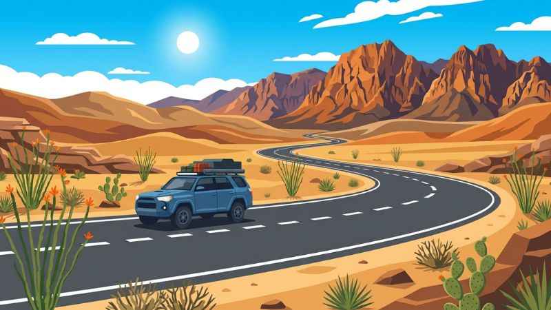
The winding road climbing up into the Chisos Basin leads from the desert into a mountain bowl surrounded by rock walls. Designated overlooks and pullouts provide views where available, so visitors should stop only in designated areas while verifying current road access.
Rio Grande Village and east-side roads
The eastern side of the park features the Rio Grande Village area near the Rio Grande and associated riparian habitats. Cottonwood trees and other riparian vegetation occur near the Rio Grande Village area. The area offers opportunities for bird and wildlife observation.
Primitive roads: who should attempt them?
Primitive dirt roads cross remote sections of the park. Some primitive roads require high clearance and/or four-wheel drive; check the current road guide for the specific route. The NPS warns that passenger cars, minivans, and small crossover SUVs may sustain underbody damage on some primitive roads.
Rio Grande, Hot Springs, and Border Experiences
The Rio Grande forms approximately 118 miles of Big Bend’s southern boundary and the international boundary with Mexico in this region.
Visit the Rio Grande without a boat
You can reach river viewpoints or trails at selected locations, subject to current access and river conditions. These spots let you experience the river environment beneath canyon walls.
Soak at the Hot Springs Historic Area
A geothermal spring emerges near the Rio Grande at approximately 105°F. Historic structures remain at the Hot Springs area and the spring is available for soaking when open, subject to current access and flooding.
Take a guided or self-supported river trip
Commercial outfitters offer river trips through park canyons. Self-supported trips require careful planning, proper permits from the park, and respect for changing river flows. A river permit is required for use of any water vessel within areas administered by Big Bend National Park and the Rio Grande Wild and Scenic River.
Visit Boquillas del Carmen
Visitors may cross through the official Boquillas Crossing Port of Entry, a Class B port of entry, where local boat operators provide transport across the river. Proper documentation is required; U.S. and Canadian citizens may use a valid passport, while other travelers should confirm acceptable documents with CBP.
Things to Do in Big Bend Besides Hiking
You do not need to hike miles into the backcountry to enjoy the park.
Stargazing and night-sky viewing
Big Bend has some of the darkest night skies in the lower 48 states and is an International Dark Sky Park. Allowing time for dark adaptation improves night-sky viewing. Checking the moon phase helps you pick nights when visibility is clear.

Ranger-led programs and interpretation
Park rangers host free programs covering nature, science, history, and culture. Check the current NPS ranger-program schedule and open visitor centers to find out what is happening during your stay.
Birdwatching and wildlife observation
Big Bend supports a high diversity of birds and is a well-known birding destination. Species like javelinas, mule deer, and roadrunners may be encountered in appropriate habitats. Always keep a safe distance from wild animals.
Fossils, history, photography, biking, and horseback riding
The Fossil Discovery Exhibit interprets the park’s paleontological history and displays fossil material; the exhibit is located 8 miles north of Panther Junction and is open dawn to dusk. Photographers enjoy the light hitting the desert brush. Bicycling is allowed on public dirt and paved roads following park road, safety, and closure rules, while horseback riding is an available park activity where authorized.
Big Bend Itineraries by Trip Length
Planning your days ahead of time keeps you organized on the road.
| Day | Morning Activity | Afternoon Activity | Evening Activity |
| Day 1 (Chisos) | Lost Mine Trail hike | Chisos Basin scenic overlooks | Sunset viewing near Window View Trail |
| Day 2 (West Side) | Ross Maxwell Scenic Drive | Santa Elena Canyon walk | Stargazing at a suitable dark-sky location in the park |
| Day 3 (River Side) | Rio Grande Village walk | Hot Springs historic soak | Dinner in the Terlingua area |
One-day Big Bend itinerary
Choose between a mountain-focused day in the Chisos Basin or a desert-canyon day along the Ross Maxwell Scenic Drive. Do not attempt to pack both mountain trails and remote river stops into a single twelve-hour window.
Two-day Big Bend itinerary
Spend your first day exploring the high mountain trails and overlooks in the Chisos Basin. Dedicate your second day to driving the west side, walking into Santa Elena Canyon, and ending your night under the dark desert skies.
Three-day Big Bend itinerary
Add a third day to explore the eastern side of the park. Visit the hot springs, walk the Rio Grande nature trails, or take a quiet afternoon to watch for desert birds and wildlife.
Itineraries for families and non-hikers
Focus your family trip on short walks, ranger talks, and scenic overlooks. The Fossil Discovery Exhibit and the accessible first 0.25 mile of the Rio Grande Village Nature Trail offer lower-effort options for families.
Big Bend Planning Essentials and Safety
Preparation is an important part of a safe desert trip.
Fees, reservations, and permits
You do not need a reservation simply to enter the park, but entrance stations do not accept cash and accept credit/debit cards; valid America the Beautiful and other eligible passes may be used for admission. Backcountry camping, river trips, and stock use require permits; backcountry camping permits, river trips, and stock use require permits, with some reservations available in advance through Recreation.gov and others obtained through the park. Visitors should consult the full NPS permits page for other backcountry, special-use, commercial, or resource-related requirements.
Heat, water, flash floods, and wildlife
Desert-floor temperatures commonly exceed 100°F in late morning during the hottest months; exact conditions vary by elevation, date, and weather. Start your outdoor activities early in the morning, and carry substantially more water than expected; consult current NPS desert-hiking guidance for the activity, season, and route. Flash floods can occur quickly, including downstream from storms, and visitors should avoid entering washes or canyons when storms threaten.
Driving, fuel, maps, and connectivity
Visitors should not rely on cell service and should carry offline or paper navigation resources. Confirm fuel availability and hours before departure rather than assume service in gateway towns. Download offline maps to your phone and keep a paper map in your glove box.
Accessibility and mobility considerations
Specific confirmed accessible locations include Window View Trail, Fossil Discovery Exhibit, Panther Path, and the first 0.25 mile of Rio Grande Village Nature Trail. The paved scenic drive provides access to desert, volcanic, canyon, and river-area scenery for visitors who prefer to remain in a vehicle.
What Is Open Right Now in Big Bend?
Park conditions change rapidly due to flash floods, road repairs, and seasonal weather.
- Check the official National Park Service current conditions page before you leave.
- Verify operating hours for visitor centers and the Boquillas port of entry.
- Watch for active road construction warnings along unpaved routes.
- Confirm that creek crossings like Terlingua Creek are dry and safe before walking into Santa Elena Canyon.
Big Bend Frequently Asked Questions
What are the top five things to do in Big Bend National Park?
Santa Elena Canyon, the Lost Mine Trail, Ross Maxwell Scenic Drive, a soak at the Hot Springs, and evening stargazing are recommended priority activities for many visitors, subject to current access.
Is Big Bend worth visiting if I do not hike?
You can experience desert landscapes through scenic drives, river overlooks, ranger programs, birdwatching, and dark-sky viewing.
How many days do you need in Big Bend?
Two to three days serves as a suggested minimum for a broad first visit, with trip length dependent on entry point, lodging, season, and chosen activities. Backcountry roads and river zones require route-specific permits, equipment, and current-condition checks.
What is Big Bend’s main attraction?
The park features a mix of desert wilderness, towering mountain ranges, river canyons, historic sites, wildlife, and dark skies.
Can you visit Big Bend with kids?
Families can choose short trails and free ranger-led programs, while checking the current schedule for suitability.
Do you need a permit for Big Bend?
Ordinary day entry requires the applicable entrance fee or pass; backcountry camping, river trips, and stock use require permits, and additional activities may require permits.
What should you not miss in Big Bend?
Santa Elena Canyon is a signature Rio Grande canyon experience, subject to current access and Terlingua Creek conditions.
What should you do in Big Bend in winter or December?
Winter generally has lower average daytime temperatures than late spring and summer, while winter nights can be cold, with average lows near freezing in some months at lower elevations; pack layers and check the forecast.
Is Big Bend closing for two years?
Check the current NPS alerts page at publication time for active closures, noting that specific Chisos Basin construction projects or area closures do not constitute a full park closure.
You May Also Like:
Things to Do in Wooster, Ohio: The Local’s Guide to Attractions, Eats, and Day Trips
Things to Do in Wells, Maine: The Complete 2026 Guide (Beyond the Beaches)